✈️ Aracaju (AJU) - El Alto (LPB) Cheap Flight Tickets Price Calendar 2021
* - Prices changing frequently. Prices above might be not accurate anymore.
Click on the calendar to see accurate prices.
FAQ about AJU - LPB route
Average flight time
15 hours and 47 minutes
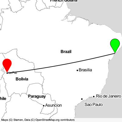
Aracaju - El Alto distance
3417 km
What is the distance between Aracaju and AJU airport
4 km
What is the distance between El Alto and LPB airport
4 km
What is the language spoken in Aracaju?
Portuguese
What is the language spoken in El Alto?
Spanish, aymara, quechua
Aracaju
Aracaju, city in Brazil located in South America. Coordinates: -10.94725 latitude and -37.07308 longitude. It is situated at elevation 11 meters above sea level. Aracaju has a population of 632744 people. It operates on the America/Maceio time zone, GMT: -3.0.
El Alto
El Alto, city in Bolivia located in South America. Coordinates: -16.48995 latitude and -68.20819 longitude. El Alto has a population of 842378 people.