✈️ Batam (BTH) - Surabaya (SUB) Cheap Flight Tickets Price Calendar 2021
* - Prices changing frequently. Prices above might be not accurate anymore.
Click on the calendar to see accurate prices.
FAQ about BTH - SUB route
Average flight time
2 hours and 10 minutes
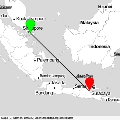
Batam - Surabaya distance
1350 km
What is the distance between Batam and BTH airport
7 km
What is the distance between Surabaya and SUB airport
14 km
What is the language spoken in Batam?
Indonesian
What is the language spoken in Surabaya?
Indonesian
Batam
Batam, city in Indonesia located in South-Eastern Asia. Coordinates: 1.13008 latitude and 104.05292 longitude. It is situated at elevation 38 meters above sea level. Batam has a population of 1029808 people. It operates on the Asia/Jakarta time zone, GMT: 7.0.
Surabaya

Surabaya, city in Indonesia located in South-Eastern Asia. Coordinates: -7.25747 latitude and 112.75209 longitude. It is situated at elevation 8 meters above sea level. Surabaya has a population of 4975000 people. It operates on the Asia/Jakarta time zone, GMT: 7.0.