✈️ Surabaya (SUB) - Batam (BTH) Cheap Flight Tickets Price Calendar 2021
* - Prices changing frequently. Prices above might be not accurate anymore.
Click on the calendar to see accurate prices.
FAQ about SUB - BTH route
Average flight time
2 hours and 10 minutes
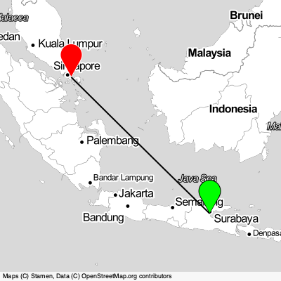
Surabaya - Batam distance
1350 km
What is the distance between Surabaya and SUB airport
14 km
What is the distance between Batam and BTH airport
7 km
What is the language spoken in Surabaya?
Indonesian
What is the language spoken in Batam?
Indonesian
Surabaya

Surabaya, city in Indonesia located in South-Eastern Asia. Coordinates: -7.25747 latitude and 112.75209 longitude. It is situated at elevation 8 meters above sea level. Surabaya has a population of 4975000 people. It operates on the Asia/Jakarta time zone, GMT: 7.0.
Batam
Batam, city in Indonesia located in South-Eastern Asia. Coordinates: 1.13008 latitude and 104.05292 longitude. It is situated at elevation 38 meters above sea level. Batam has a population of 1029808 people. It operates on the Asia/Jakarta time zone, GMT: 7.0.